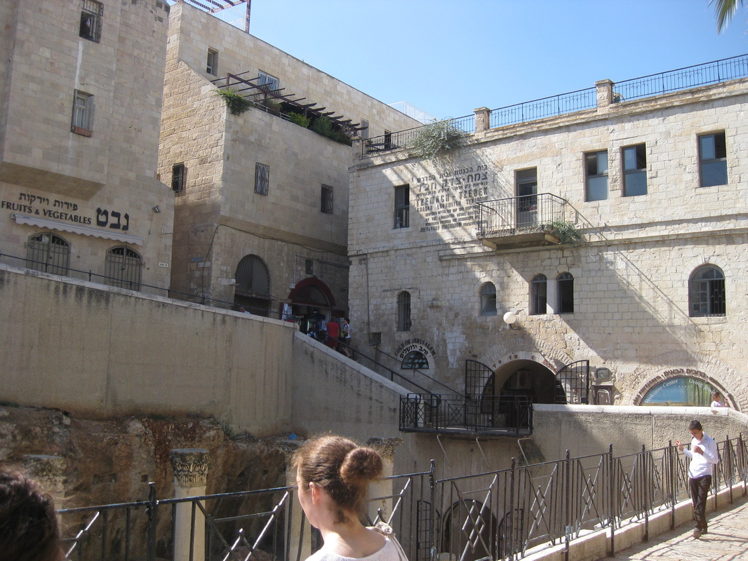
The Cardo
|
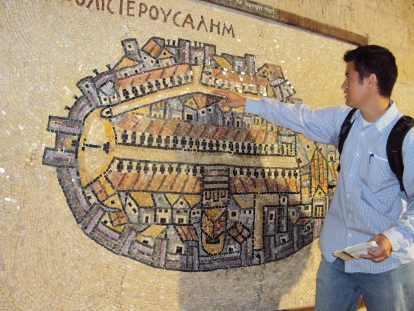
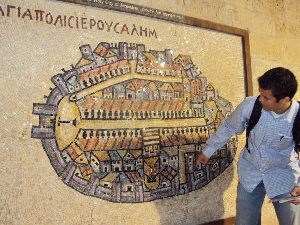
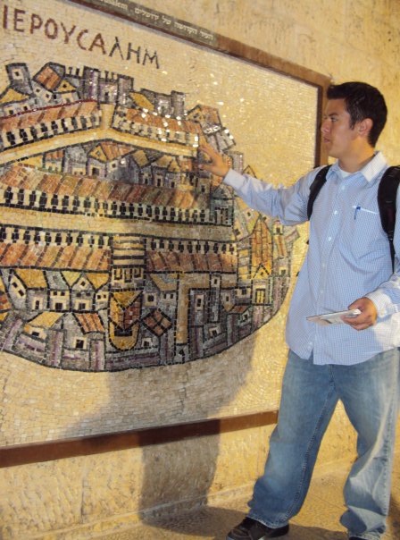
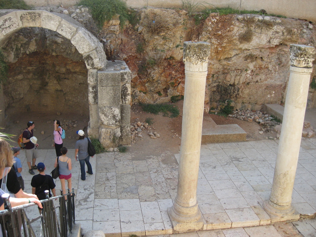
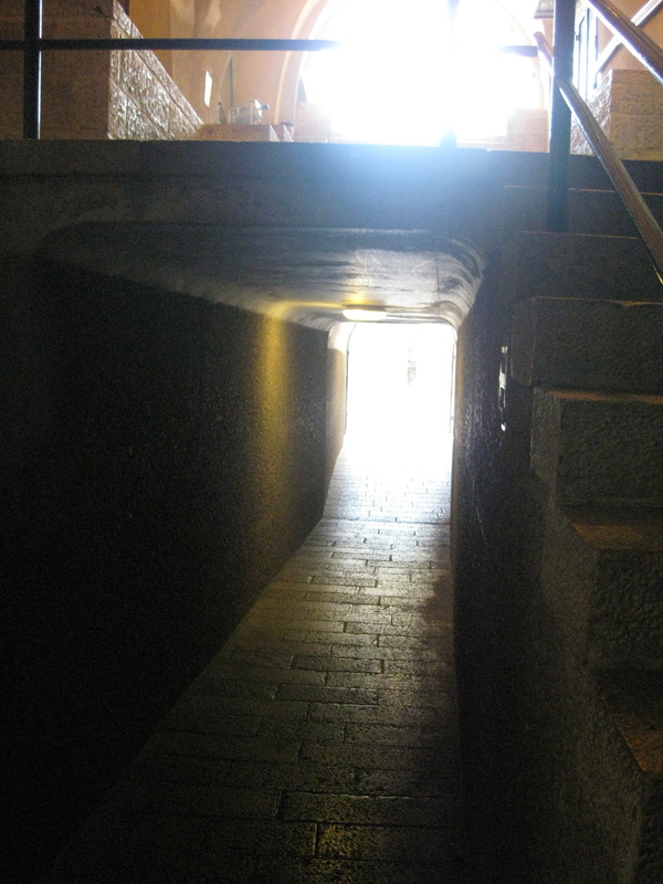
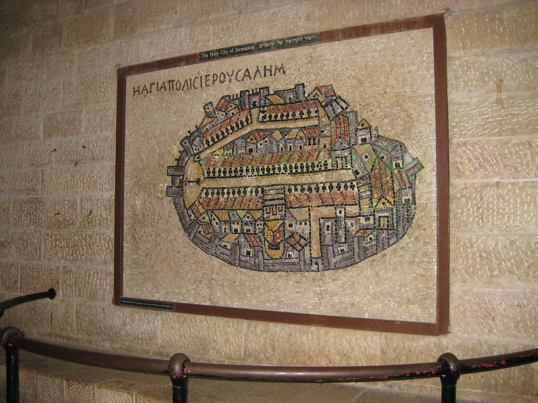
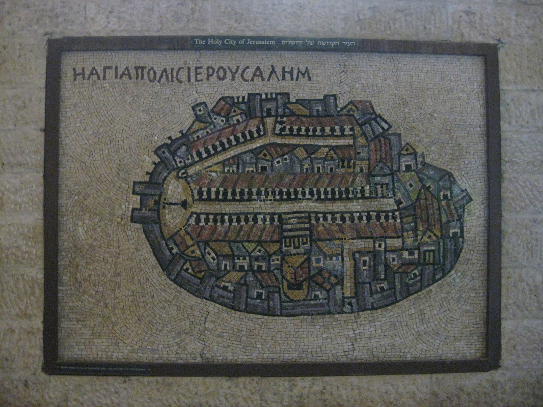
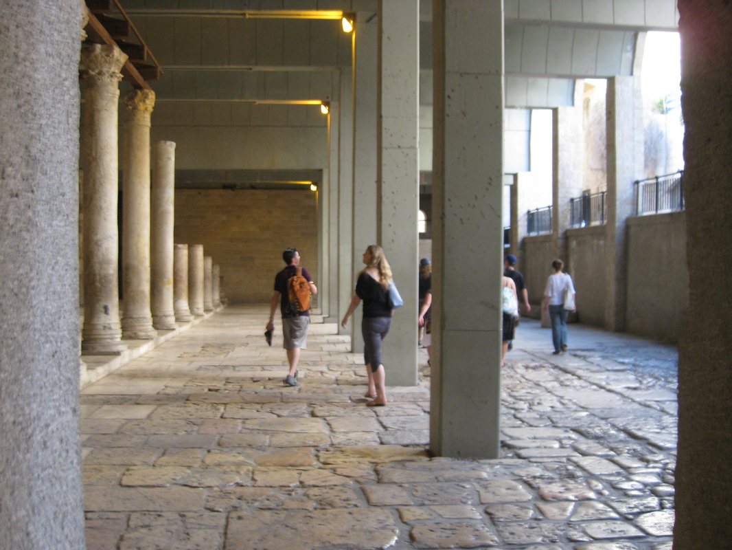
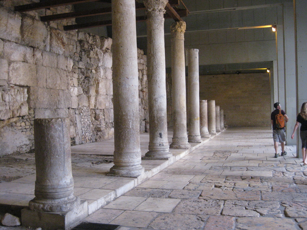
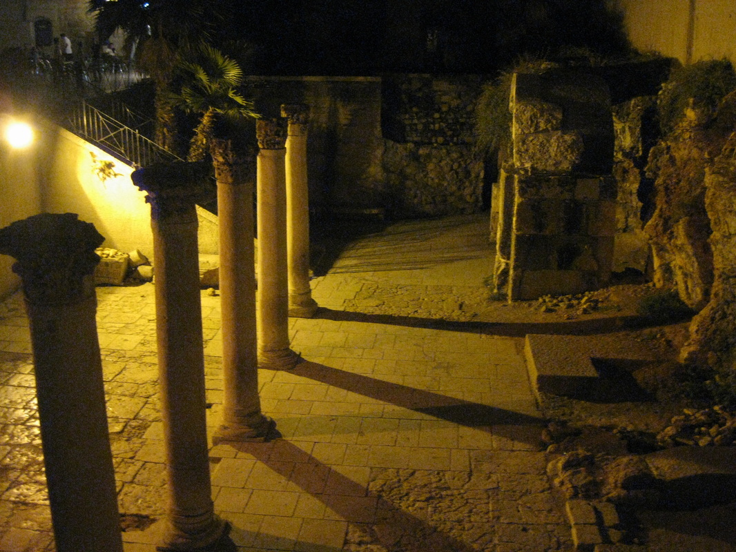
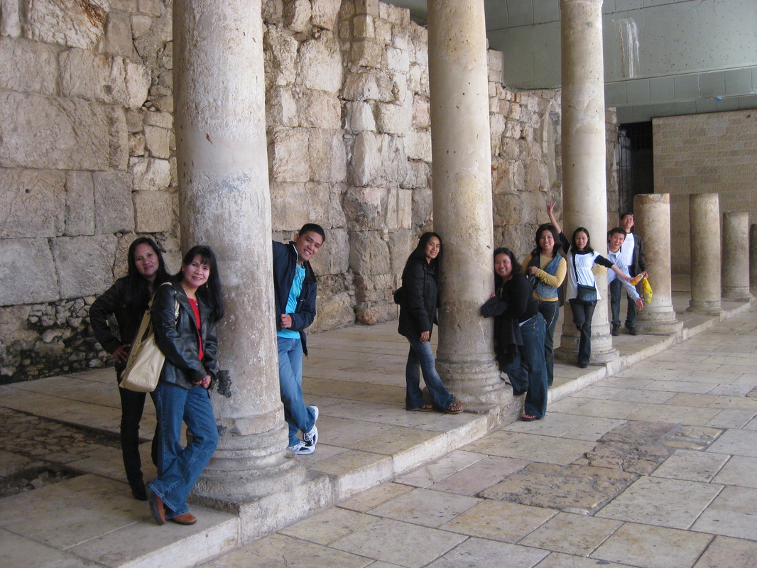
This portion of the Cardo is in the Jewish Quarter. A cardo is a Roman street (usually two running perpendicular to each other, this one is unique since they run almost parallel). The cardo during ancient times would have been lined with markets and such. Today, only sections are excavated. The Madaba Map (a copy is seen to the right) is from the Byzantine era (6th century AD) and shows both cardos as well as Christian holy sites, such as the Church of the Holy Sepulchre and the Nea Church.
August 7, 2009 - Friday “…we walked through Zion’s gate (right foot first for good luck in Jewish tradition!) and through the Armenian Quarter to the Jewish Quarter and to the Cardo below. The street, built during the Roman times, ran north to south to the Damascus Gate and served partly as a market. A mosaic map is displayed underneath showing how the Old City looked in the 5th century. It shows the two cardos, churches, etc., but no Temple Mount because it was destroyed and merely used as a place for trash at that time (it explains why the gate there is called the “Dung” gate because it means trash). It was the Muslims who later restored it. The reason why it was used for trash is because the Christians then assumed it was of no importance if Christ himself said it would be destroyed and cried over it [see Luke 19:41-44].” |
             |
